Loading...
El Salvador · Eastern region · SV-MO
Morazán department
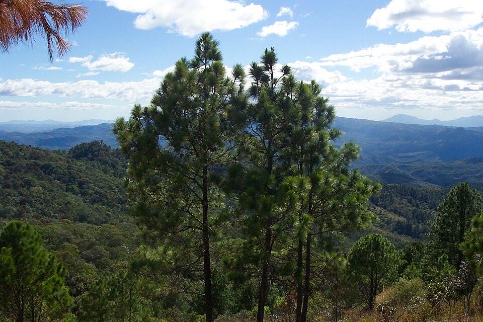
The northeastern mountains on the Honduran border, with Perquín and the Ruta de Paz.
- Capital
- San Francisco Gotera
- in Morazán Sur
- Population, 2024 census
- 169,784
- BCR census
- Area
- 1,447.43 km²
- DIGESTYC
- Municipalities / districts
- 2 / 26
- since May 1, 2024
Places to visit in Morazán
Each place is in Morazán under the 2024 municipal map (its district is shown). Pins use coordinates from OpenStreetMap, Wikidata or Wikipedia; open any place in OpenStreetMap to check it.
San Francisco Gotera
City · District of San Francisco Gotera, Morazán Sur
The department capital, about 169 km from San Salvador at 420 m. Source: Wikipedia (es)
Perquín
Town · District of Perquín, Morazán Norte
Mountain district bordered by Honduras to the north, west and east. Source: Wikipedia (es)
Museo de la Revolución Salvadoreña
Landmark · District of Perquín, Morazán Norte
Museum in Perquín on the Salvadoran Civil War, including a recreation of the guerrilla station Radio Venceremos. Source: Wikipedia
El Mozote
Landmark · District of Arambala, Morazán Norte
Village where nearly 1,000 civilians were killed by the army’s Atlácatl Battalion in December 1981; today a memorial site. Source: Wikipedia
Río Sapo
Nature · District of Arambala, Morazán Norte
A river about 20 km long, a tributary of the Torola. Source: Wikipedia (es)
Cerro Cacahuatique
Volcano or peak · District of San Simón, Morazán Sur
Peak in western Morazán, about 6.5 km east of Ciudad Barrios (San Miguel). Source: OpenStreetMap
Good to know
- Money: El Salvador uses the US dollar. Bitcoin is still legal, but since the January 2025 reform to the Bitcoin Law businesses accept it only if they choose to, so carry dollars. The government Chivo wallet is no longer state-run: the IMF reported in September 2026 that its majority ownership and operation were transferred to a private operator. El Diario de Hoy, IMF
Municipalities and districts of Morazán
Since May 1, 2024 (Decreto 762), Morazán has 2 municipalities. The 26 former municipalities are now districts inside them.
Morazán Norte
Arambala, Cacaopera, Corinto, El Rosario, Joateca, Jocoaitique, Meanguera, Perquín, San Fernando, San Isidro, Torola
Morazán Sur(capital)
Chilanga, Delicias de Concepción, El Divisadero, Gualococti, Guatajiagua, Jocoro, Lolotiquillo, Osicala, San Carlos, San Francisco Gotera, San Simón, Sensembra, Sociedad, Yamabal, Yoloaiquín
ia.sv guides
Ask ia.sv about Morazán
Each question opens in the chat, ready to edit or send.
Sources
- Population: BCR, Population and Housing Census 2024 (department totals exclude people deprived of liberty).
- Area: DIGESTYC, Statistical Yearbook 2009 (area by department).
- Municipalities, districts and capital: Legislative Decree 762, Special Law for Municipal Restructuring (2023).
- Place coordinates: OpenStreetMap (ODbL), Wikidata (CC0) and Wikipedia; districts checked against OpenStreetMap boundaries. Each description cites its source next to the place.
Checked November 17, 2026. ia.sv is independent and not affiliated with the Government of El Salvador.