Loading...
El Salvador · Eastern region · SV-SM
San Miguel department
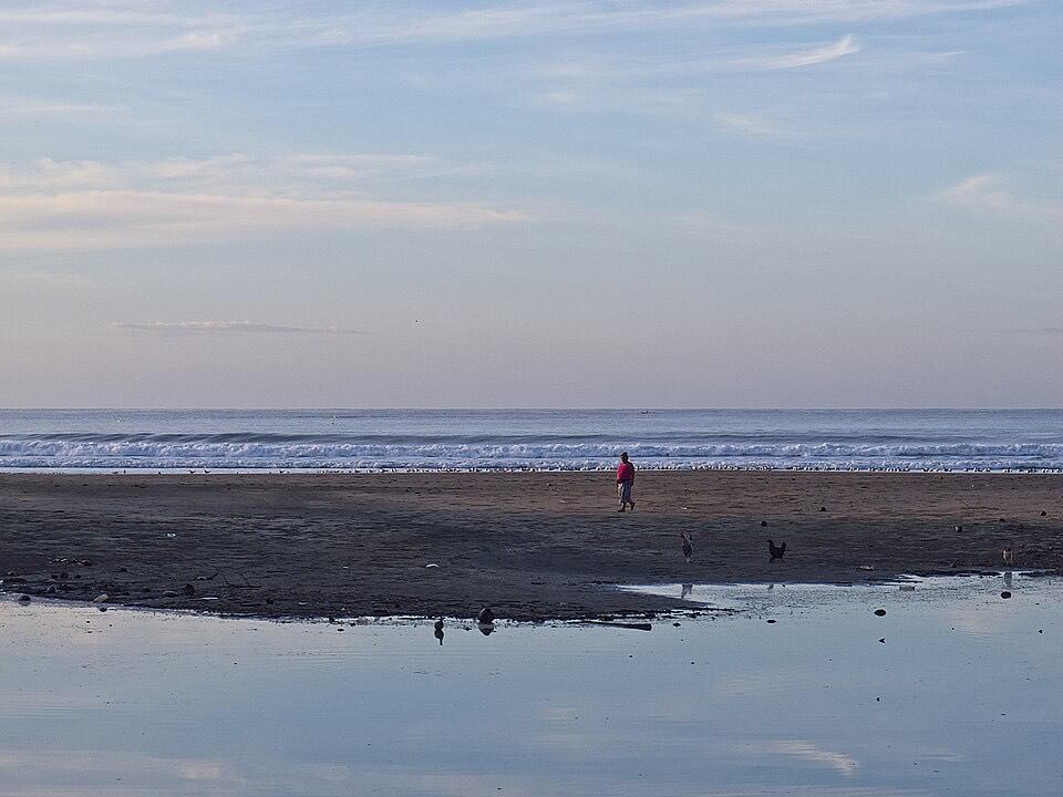
The main city of the east, the Chaparrastique volcano and the eastern beaches of El Cuco and Las Flores.
- Capital
- San Miguel
- in San Miguel Centro
- Population, 2024 census
- 447,634
- BCR census
- Area
- 2,077.1 km²
- DIGESTYC
- Municipalities / districts
- 3 / 20
- since May 1, 2024
Places to visit in San Miguel
Each place is in San Miguel under the 2024 municipal map (its district is shown). Pins use coordinates from OpenStreetMap, Wikidata or Wikipedia; open any place in OpenStreetMap to check it.
San Miguel
City · District of San Miguel, San Miguel Centro
The department capital; the Chaparrastique volcano rises southwest of the city. Source: Wikipedia (es)
Volcán de San Miguel (Chaparrastique)
Volcano or peak · District of San Miguel, San Miguel Centro
Stratovolcano of 2,129 m, the third highest in the country. Source: Wikipedia (es)
Quelepa
Archaeological site · District of Quelepa, San Miguel Centro
Pre-Columbian site that was a Lenca ceremonial and political center. Source: Wikipedia (es)
Laguna El Jocotal
Nature · District of San Miguel, San Miguel Centro
Lagoon south of the Chaparrastique volcano. Source: OpenStreetMap
El Cuco
Beach · District of Chirilagua, San Miguel Centro
Beach village on the San Miguel coast. Las Flores beach is just to the southwest. Source: OpenStreetMap
Often placed here, but in another department
- Cerro Cacahuatique rises near Ciudad Barrios, but its summit is in Morazán
Good to know
- Money: El Salvador uses the US dollar. Bitcoin is still legal, but since the January 2025 reform to the Bitcoin Law businesses accept it only if they choose to, so carry dollars. The government Chivo wallet is no longer state-run: the IMF reported in September 2026 that its majority ownership and operation were transferred to a private operator. El Diario de Hoy, IMF
Municipalities and districts of San Miguel
Since May 1, 2024 (Decreto 762), San Miguel has 3 municipalities. The 20 former municipalities are now districts inside them.
San Miguel Norte
Ciudad Barrios, Sesori, Nuevo Edén de San Juan, San Gerardo, San Luis de la Reina, Carolina, San Antonio, Chapeltique
San Miguel Centro(capital)
San Miguel, Comacarán, Uluazapa, Moncagua, Quelepa, Chirilagua
San Miguel Oeste
Chinameca, El Tránsito, Lolotique, Nueva Guadalupe, San Jorge, San Rafael Oriente
Ask ia.sv about San Miguel
Each question opens in the chat, ready to edit or send.
Sources
- Population: BCR, Population and Housing Census 2024 (department totals exclude people deprived of liberty).
- Area: DIGESTYC, Statistical Yearbook 2009 (area by department).
- Municipalities, districts and capital: Legislative Decree 762, Special Law for Municipal Restructuring (2023).
- Place coordinates: OpenStreetMap (ODbL), Wikidata (CC0) and Wikipedia; districts checked against OpenStreetMap boundaries. Each description cites its source next to the place.
Checked November 17, 2026. ia.sv is independent and not affiliated with the Government of El Salvador.